 |
UK Broadcast Transmission |
|
|||||||||||
THE TRANSMISSION GALLERY
MELVAIG
| Photos by Jack Richardson | Page last updated: 2021-08-14 |
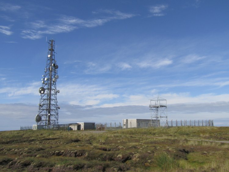
| Since the pictures of Melvaig by TCPD, aerials for the BBC National DAB multiplex have been added. Service date 30-Aug-2014. A nice 4 mile walk around Melvaig. Parked in one of the laybys on the single track road. There is a layby at the bottom of the access track to the site, which would have saved me some miles, but that would have spoiled the fun. The views from here are fantastic, looking over towards the Isle of Skye and Lewis and Harris. Melvaig covers a remote and mountainous area, and perhaps the most surprising thing is that the antennas are only 35 metres above ground. Driving back to Gairloch, it wasn't too long before my car radio switched to Skriaig due to multipath, and in Gairloch itself the best BBC national signals do indeed come from Skriaig. I'd imagine the coverage out towards Skye, Lewis and Harris and on the west coast of the mainland is good though. Driving back south, reception seemed steady until Lubmore (by the Glen Docherty link site) on the A832, when Rosemarkie takes over. |
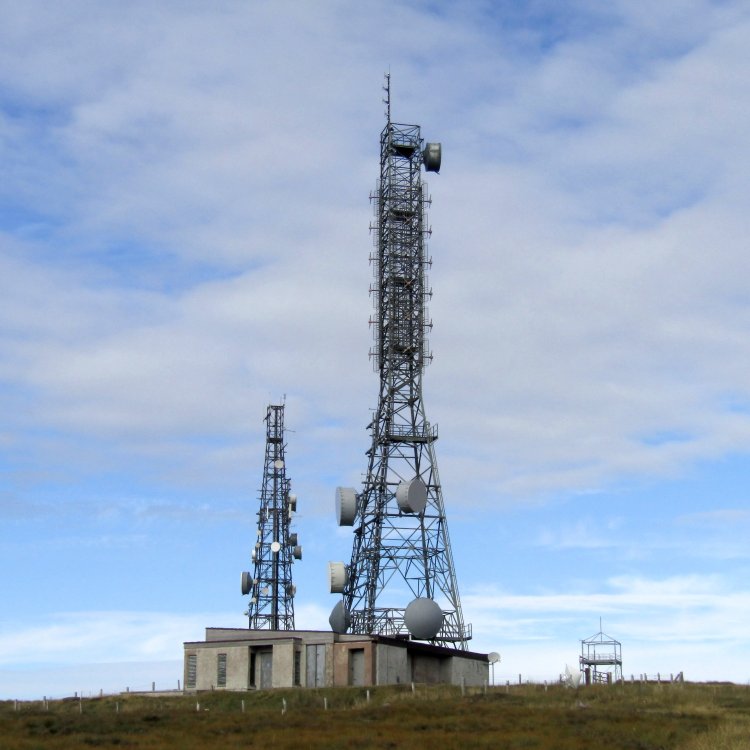
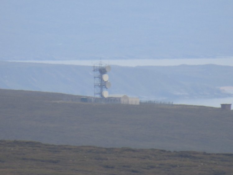
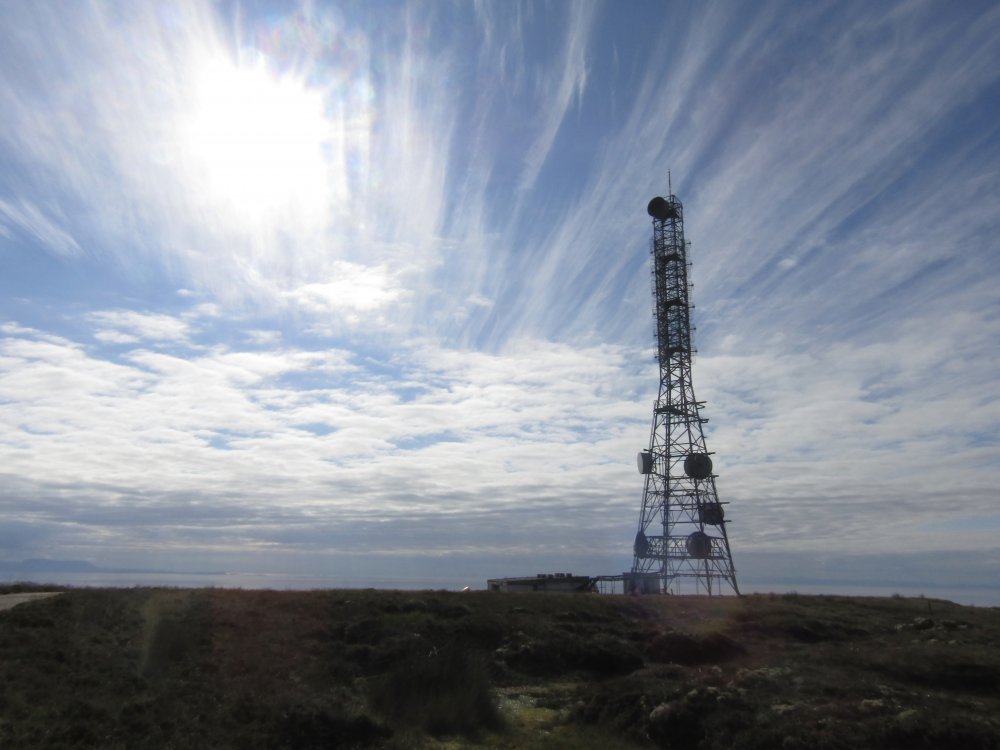
| There are three towers at Melvaig. Arqiva, Wireless Infrastructure Group, and BT. |
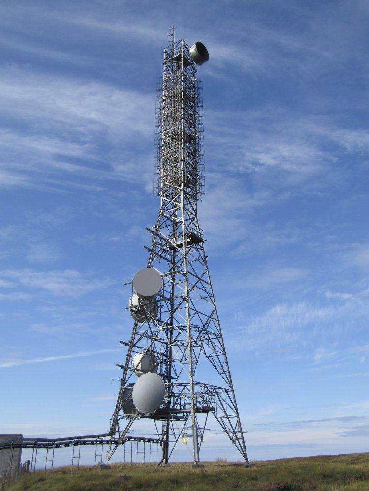
| The Arqiva tower. |
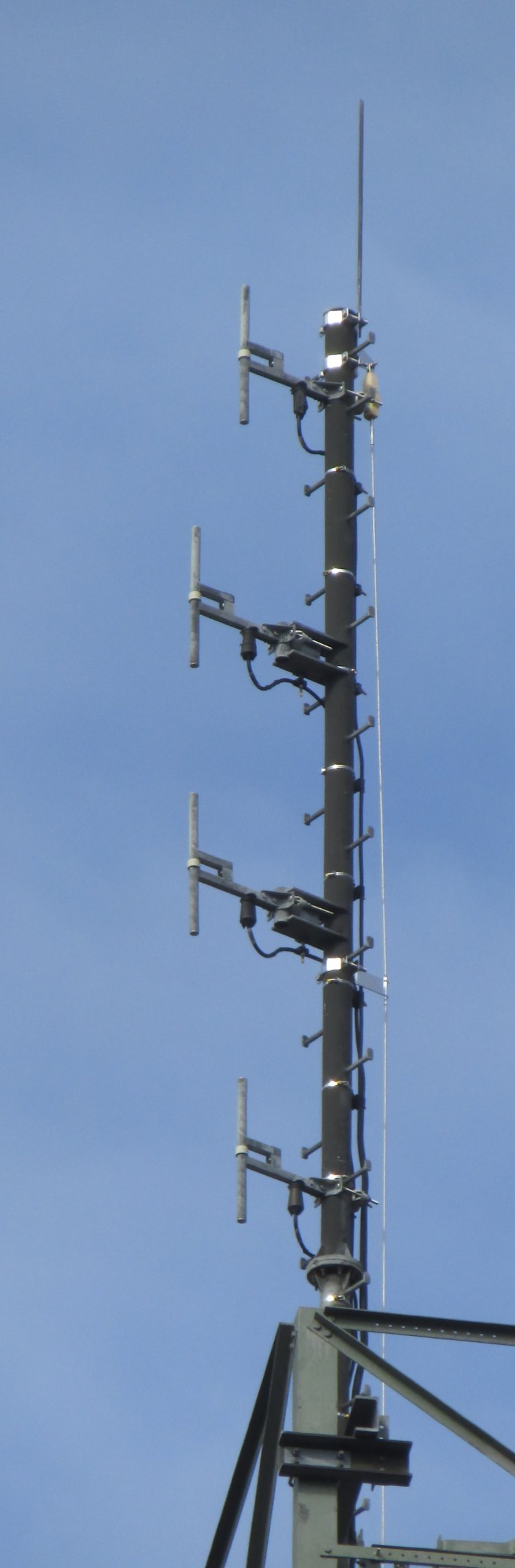
| A 4 tier stack of band III dipoles have been added at the top of the Arqiva tower to transmit DAB. |
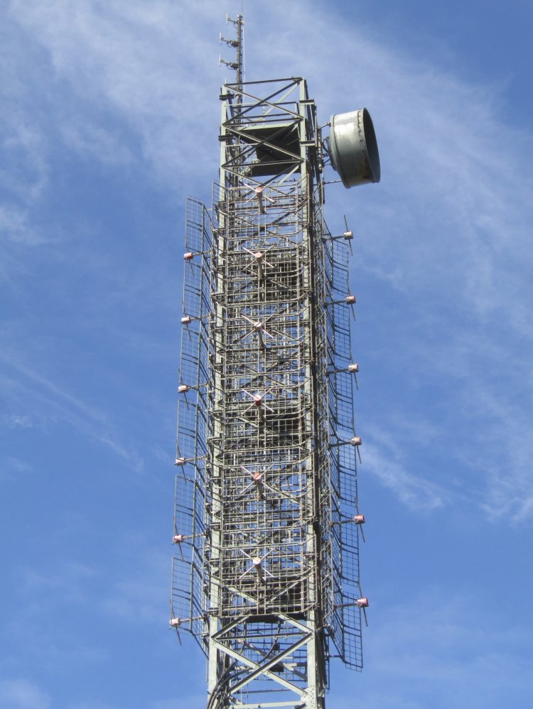

| SHF antenna pointing towards Glen Docherty. I can't imagine this is still in use as it's missing its' cover. Also this antenna has been replaced at some point in the past as it is of a different design compared with that seen in the earlier pictures. |
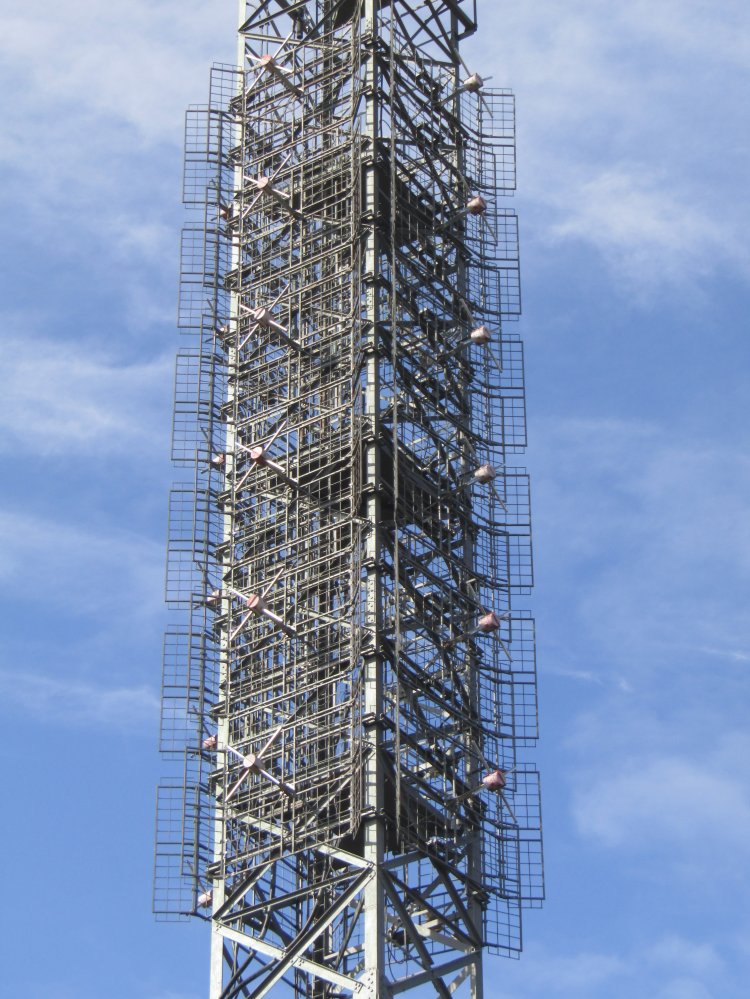
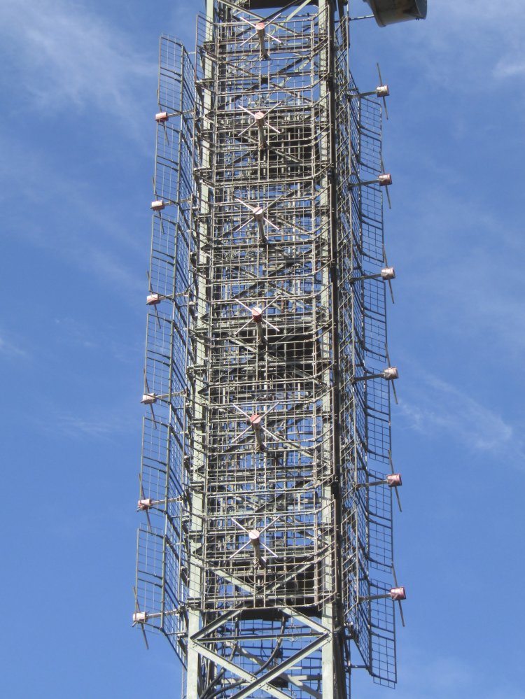
| The antenna stacks on the left and right sides look slightly offset to me. [Ed]. Jack's observation is correct. In fact all of the band II panels are slightly off-set from the faces of the tower also they are not evenly spaced round the tower by 90 degrees. The orientation of the tower seems to have been more concerned with the SHF antennas for Glen Docherty, Eitshal and Skriaig being reasonably square to a tower face. Also the power division is unequal between the faces. The consequence of all of this is that maximum ERP is radiated in a north-northwesterly direction (335 degrees), towards the northern end of the Isle of Lewis. |
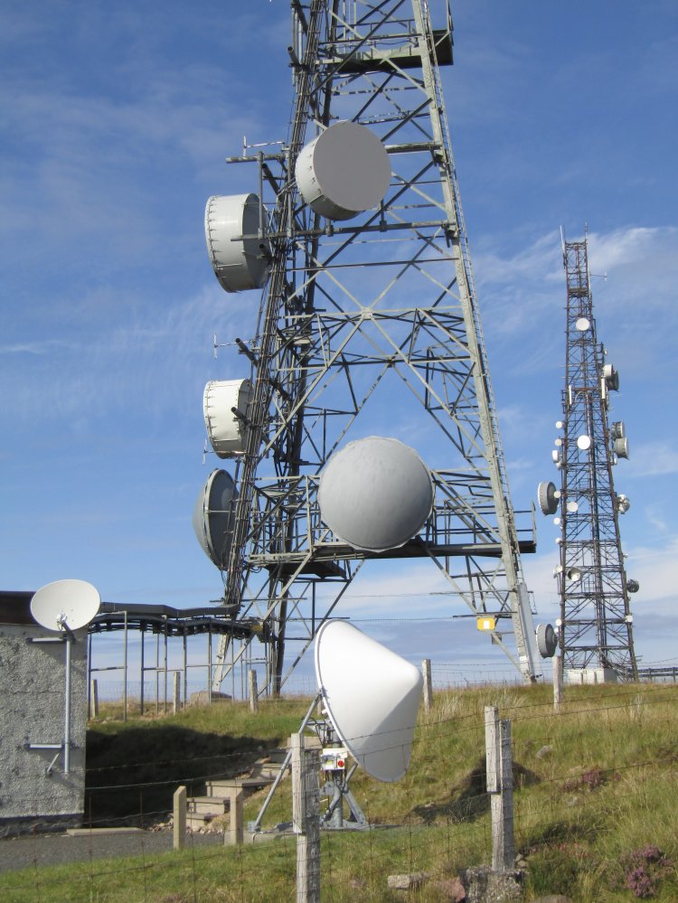
| The SHF antennas on the left side of the tower are pointing towards Eitshal, the SHF antenna facing the camera towards Skriaig, and the antenna above is pointing southwards. Doesn't look to be pointing towards BT Gairloch? The large satellite dish with the conical radome will be receiving the DAB programme feed. The purpose of the small satellite dish on the wall of the building is not known. |

| Looking across to the Wireless Infrastructure Group and BT sites. The BT tower is empty apart from one dish, pointing towards BT Gairloch. |
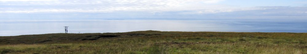
| BT Gairloch about 4 miles away |
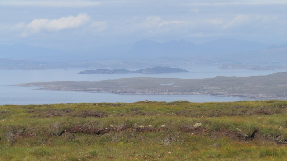
| Photos don't do justice... the Isle of Skye. |
| There is something there, honest... Lewis and Harris. Stornoway and Eitshal would probably be visible with a pair of binoculars. |
| Achiltibuie and the Summer Isles |
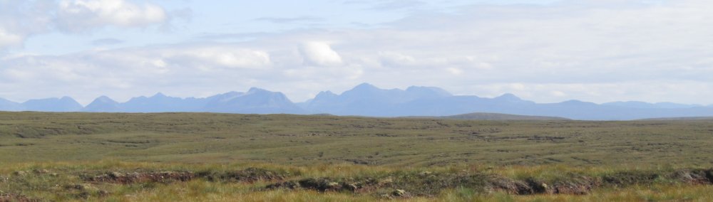
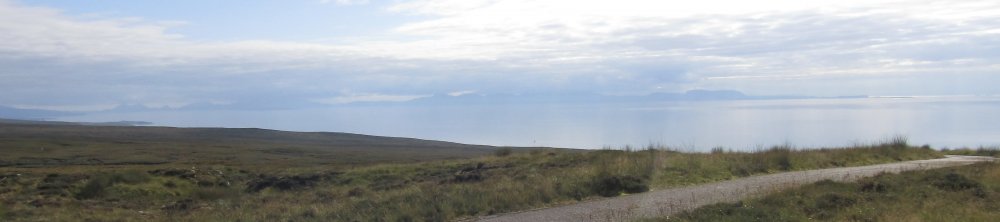
| Looking south |
Eitshal | Glen Docherty (link site) | Rosemarkie | Skriaig
| |
Back to TX Gallery index | TX main index
|