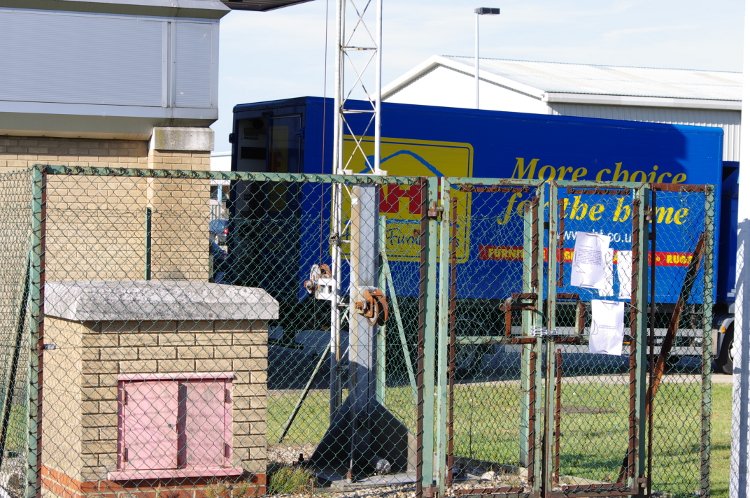
Knowing this Self Help (SH) transmitter was serving the southern end of Rotterdam Road and the location's grid reference should have made finding this one easy. Wrong! I stumbled on it by accident while collecting a package from the Royal Mail Delivery Office, as it is in the same North Quay Retail Park service road.
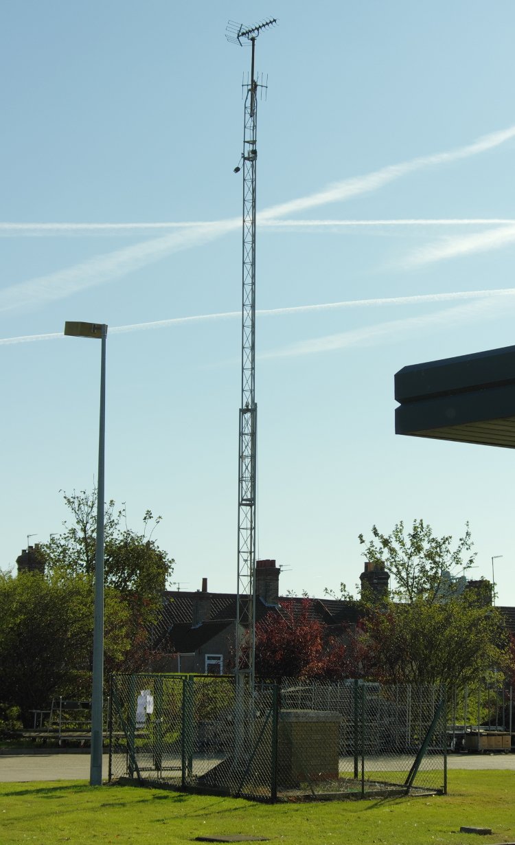
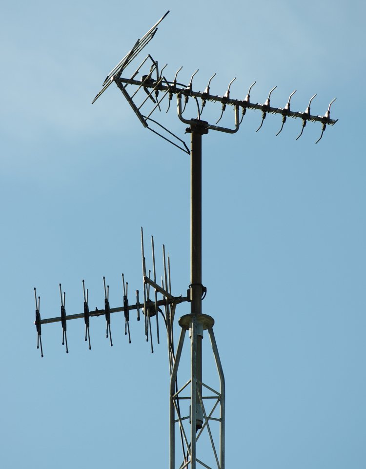
Lowestoft Rotterdam Road, SH381, also has the transmitter number 114.18 allocated to it. It is 1 Watt, vertically polarised, and a transposer (rbl Tacolneston): BBC1 41, BBC2 44, Anglia ITV 47 & C4 51. The site height is on record at 5m asl and the antenna 15m agl. The records I have show it at NGR TM538933 while I make this tower at TM536933.
It appears it may have been built as a result of the retail park development (circa 1990) blocking reception in the low-lying roads to the East of it.
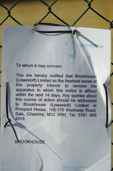
The notice that the Freeholder intends to remove the structure isn't dated - I was there on 20th October 2011. As DSO1 isn't until 9th November (19 days later) it seemed a little bit early to me, but at least I'd arrived 'just in time' to photograph it.
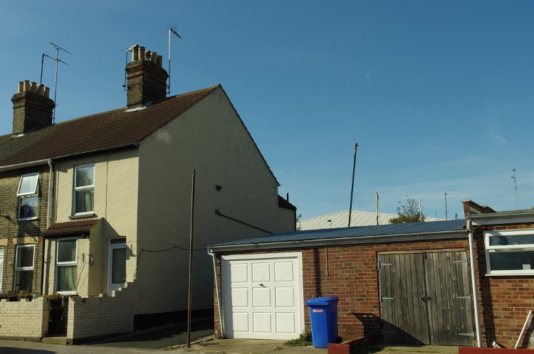
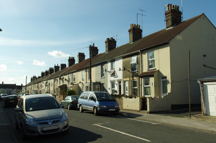
A thorough walk around all the adjacent roads off Rotterdam Road found absolutely no sign of any vertically polarised aerials at all. Every house had an aerial (sometimes more than one) directed to Tacolneston and most had satellite dishes as well. {I did spot one tri-boom aerial directed towards the Lowestoft College - but, as it was horizontally polarised, it may have been directed at a strong reflection?}.
It appears this SH was little used: perhaps Tacolneston HP group C/D aerials worked well enough with the vertical group B signals from the relay?
The housing in this area should be able to see the new Lowestoft UHF relay from their rooftops. Whether any will bother to use it, by installing the correct aerials, remains to be seen. |