 |
UK Broadcast Transmission |
|
|||||||||||
THE TRANSMISSION GALLERY
| Photos by Dan Glover | Page last updated: 2016-02-22 |
|
|||||||||||||||||||||
| Branch FM is at the same time conventional in terms of the technical arrangements used by a Community Radio station and quite unusual in the choice of location. The site is on high ground to the north west of Dewsbury but the antenna is attached to a single-storey extension to a residential property. The location seems to offer good coverage to the north, west and south but Ofcom's coverage map (linked below) shows an apparent "hole" in the area of central Dewsbury immediately south of the site. In practice the signal was good as I made my way back towards Huddersfield on the A644 so perhaps the map is pessimistic? |
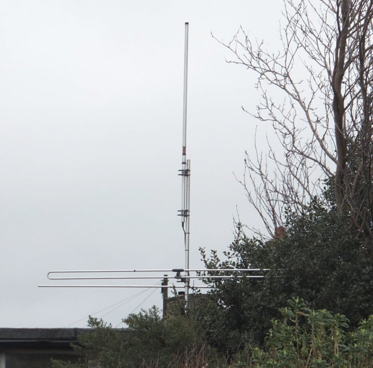
| For reasons of privacy we have focused on the technical side rather than the supporting structure. The transmit antenna is the familiar Jaybeam end-fed and a Band I link is in use |
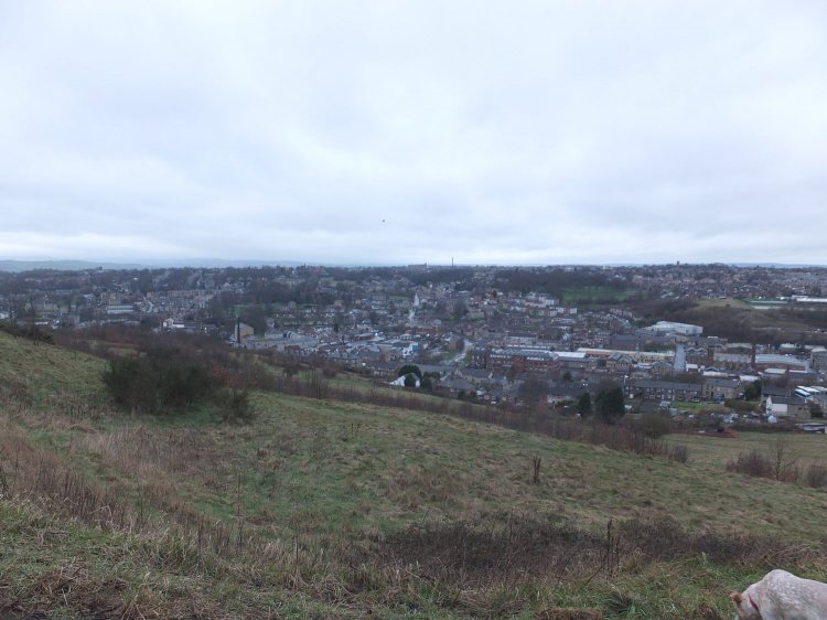
| The Kirklees Way long distance path runs nearby. On a better day this would be a very good view... |
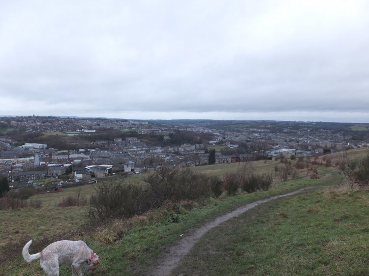
| ...however the dog seemed preoccupied with something close by! |
| |
Back to TX Gallery index | TX main index
|