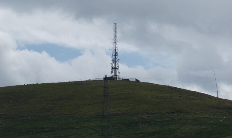
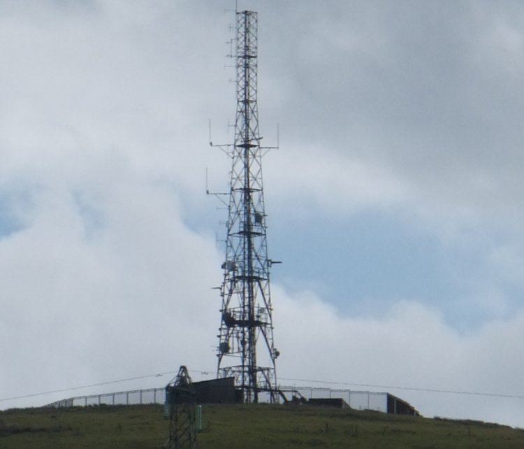
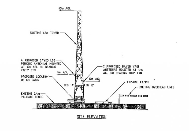
(Editor's note: no detailed photos, but we do have more detail of installation, see diagram added below)
Errors in navigation and lack of time meant we got no nearer than the B781. (Access is, it turns out, off the B780).
This rather poor image has, therefore, been included more for the engineering interest than the photographic merit - and as a possible incentive for someone to try again before it's too late!
The background: nearby West Kilbride used to be an analogue relay of Darvel. Then someone built a wind farm on the land just to the south east. This presumably disrupted reception from Darvel. The solution was to link via Knockewart, an existing communications site just north of the wind farm.
Knockewart transmitted on UHF 57, 53, 63 & 60, with horizontal polarisation, in the direction of West Kilbride, from an aerial at 15m. The link was in operation from 9th February 2004 until 7th January 2010.
As the linked article from The Buteman highlights, Knockewart thus became a vital link in the distribution chain westwards as far as Tighnabruaich.
In preparatation for DSO the feed to West Kilbride was swapped to Black Hill and Knockewart is no longer in use. |


