 |
UK Broadcast Transmission |
|
|||||||||||
THE TRANSMISSION GALLERY
| Photos by Richard Moore and Dan Glover | Page last updated: 2023-10-06 |
|
||||||||||||||||||||||
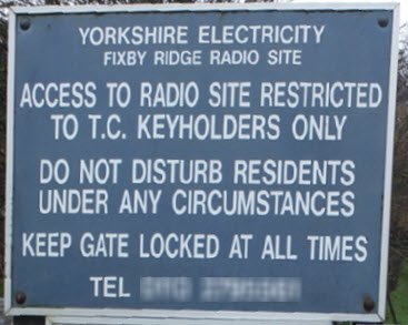
| Situated just off Jn24 of the M62 near Huddersfield, Ainley Top provides DAB services for the area and is close to Vicars Lot and Moorside Edge. The tower is adjacent to a water treatment works but primarily seems to have been used by the regional electricity company - it is known by them as 'Fixby Ridge'. The site was used by local station Pennine FM (and its predecessors) from March 1998 until the station closed and surrendered its licence in April 2010. In June 2016 107.9 MHz was reallocated to a Community Radio station using a site approximately 2 km to the south. DAB transmissions started in November 2002 for the local multiplex (600 W ERP) with BBC sharing the same array from 27 January 2015 (1 kW). Richard's photos (date unknown) were "taken at 8pm on an overcast evening with the odd lucky ray of sunlight" - Dan visited on a morning in mid-November in heavy rain! Dan's mission was to satisfy the requirement for "Detail : FM tx antenna". This was not achieved, see below... |

| This, together with the weather, discouraged Dan from taking a closer look |

| In Richard's photos we see the DAB installation at the very top of the 60 m tower... |
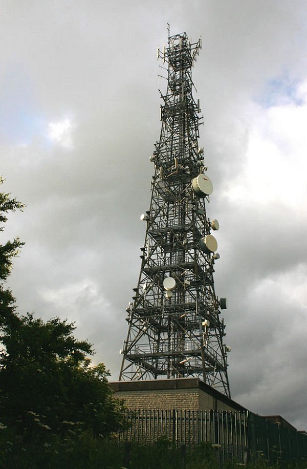
| ...the planning application (02/92109 at Kirklees Council) also included a 0.6 m dish at 12 m on bearing 126 (Emley Moor) - possibly the small SHF link near the bottom and facing right? |
| At the time of Richard's visit SHF links of various types were abundant, with a group of old-style cellular corner reflectors near the top of the tower |

| The dipoles, in conjunction with their support, produce a cardioid pattern which is centred on bearing 230 - giving coverage towards Halifax as well as Huddersfield |
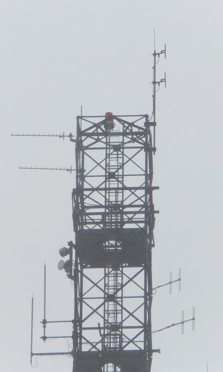
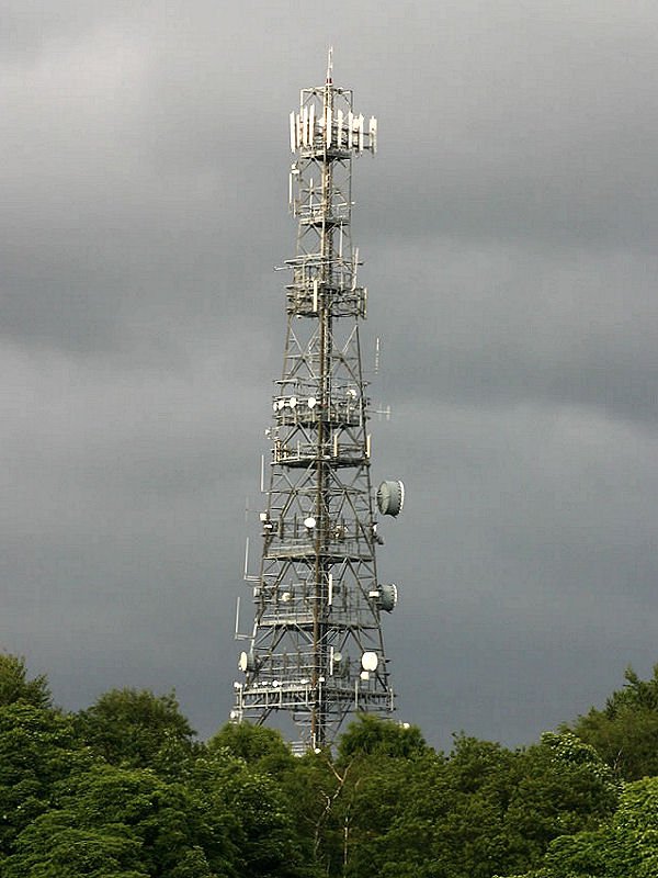
| By the end of 2015 the cellular antennas had been cleared from the top level. The two UHF yagis are not thought to be broadcast-related |


| The view towards Huddersfield as seen by Richard: Emley Moor is just visible to the right of the pylon |
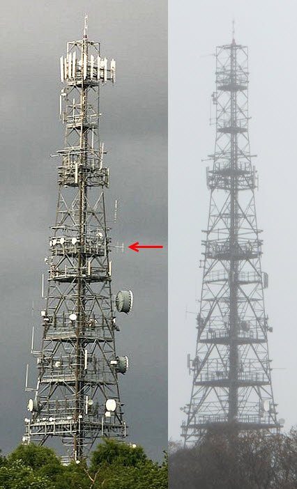
| Even allowing for the lack of contrast and detail in the 2015 picture on the right it's obvious much "pruning" has occurred since Richard's visit Old Ofcom parameters show Pennine FM as 100 W ERP (HP and VP) with an antenna at 34 m and maximum ERP on bearing 160 (towards Huddersfield). The above views are looking roughly east towards the site: Huddersfield is therefore to the right. It's possible the antenna highlighted in Richard's picture might be (part of) that used by Pennine FM - it's also possible it was "behind the tower" as seen from this direction Google Streetview shows the large SHF dishes on the right were removed some time between August 2010 and August 2012 - the supporting metalwork for the top tier of mobile phone antennas was still in place then. It may be the clearance of redundant antennas was connected with the sale of the site by Yorkshire Water in 2013 - it's unlikely the Pennine FM antenna has survived if this was part of an "audit" of site sharers |
Huddersfield Royal Infirmary | Moorside Edge | Vicars Lot
| |
Back to TX Gallery index | TX main index
|