 |
UK Broadcast Transmission |
|
|||||||||||
THE TRANSMISSION GALLERY
| Photos by Alan Price | Page last updated: 2019-04-17 |
|
|||||||||||||||||||||
| This relay went into service in October 2012, at a power of 100 watts. Due to interference from other transmitters operating on or around 96.3 MHz, this relay only really covers the Chorley area. At first I thought the receive aerial was pointing towards towards 2BR’s Blackburn site, as it points north eastwards. However, this site is a relay of Bee Lane (which is north west of here), and takes Preston/Mid Lancashire advertising. The transmit aerial also points north eastwards, towards surrounding moorside, but this can possibly be explained as it provides a null in the direction of other stations around 96.3MHz. I can only assume that another station around 106.5MHz, say 3FM from Snaefell on 106.6MHz, which can be received around parts of Lancashire, was being received when the aerial was pointed in it's correct direction, meaning some rejection is needed. Is anybody 'in the know'? Alan subsequently commented that the output appeared to be mono and the polar pattern at Bee Lane doesn't favour Chorley... |
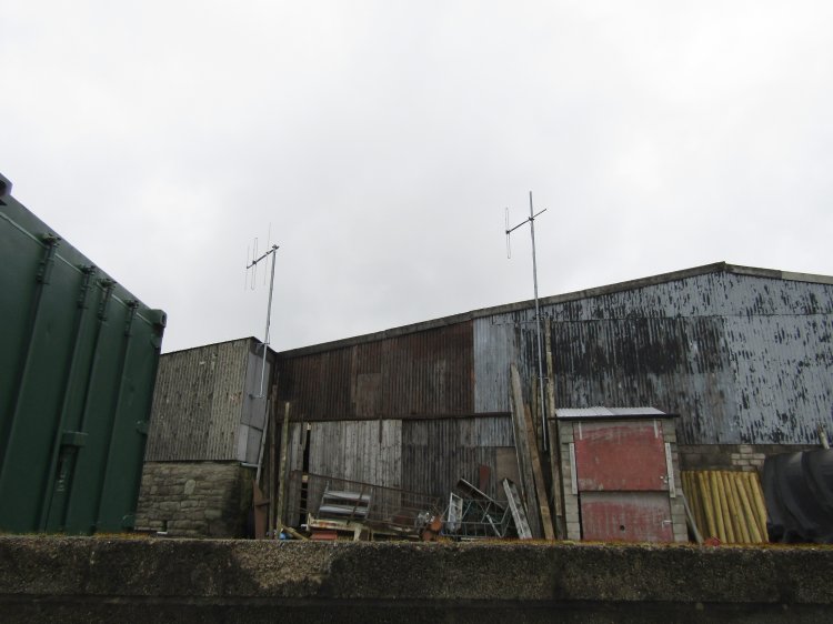
| Editor's note: Ofcom data shows maximum ERP due north and an "in use" 4 dB reduction towards the south. The licence restriction requires a 3 dB reduction centred on bearing 240 which is achieved by this arrangement. Presumably the dipole is oriented to give the best combination of coverage to the service area and compliance with the 3 dB restriction without the need for something more complicated. Plotting the Ofcom detailed data suggests maximum ERP is just north of east. Looking at the bigger picture it seems this is not the best site...Chorley is more or less due west and the 3 dB reduction is towards the southern part of the town. We believe the restriction is to protect Capital FM's service on 96.3 MHz from Great Ormes Head - and about half the terrain between the two sites is sea! |

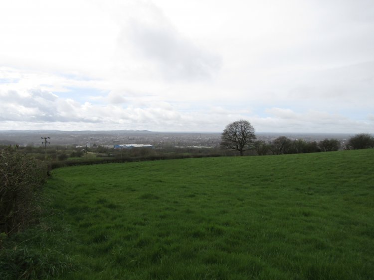
| The view over Chorley |

| Fiddlers Ferry power station with the hills of North Wales behind. |
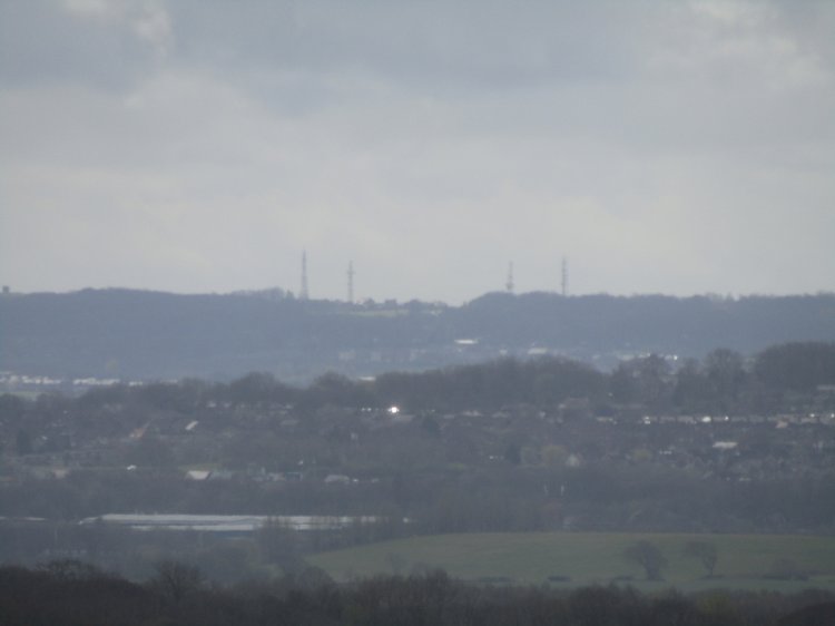
| Billinge Hill |

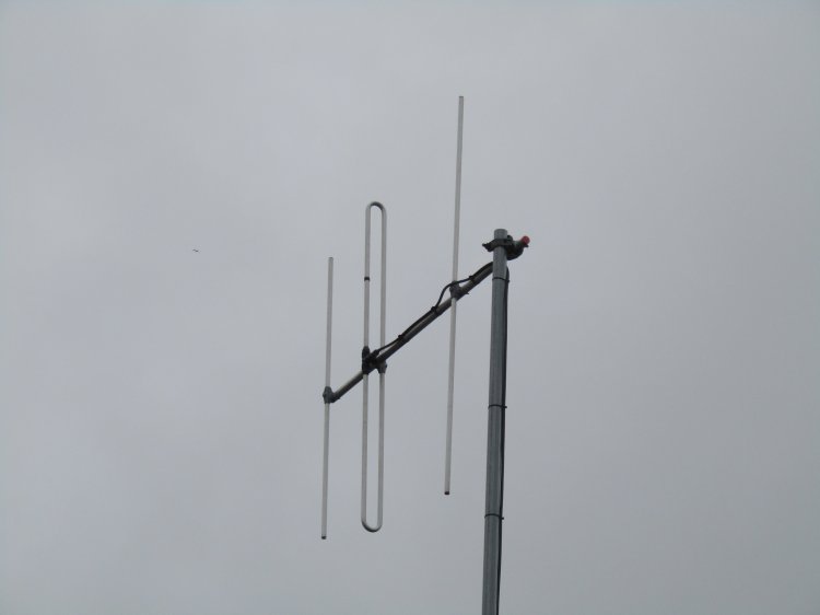
| Rivington Pike Colin Simpkin adds some confirmatory comments: "As from April 8th 2019, this now carries the Blackburn/Preston split of Capital Lancashire, relayed from Preston Bee Lane, as previously. I can confirm that Alan Price's observations are correct - the receive antenna is indeed aimed well off-beam to combat CCI from 3FM at Snaefell. This has been confirmed by a previous engineer. As a consequence, the incoming signal from Preston Bee Lane is poor, hence why the relay runs in mono. The position and orientation of the transmit dipole is indeed intended to create the required south-westerly null, whilst keeping the installation as simple as possible. |
| |
Back to TX Gallery index | TX main index
|