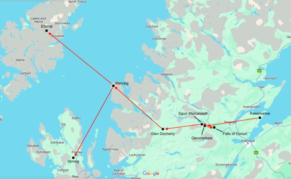
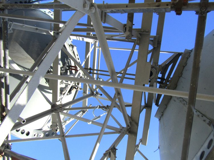
Sgurr Marcasaidh was one of a number of SHF link sites bringing TV and radio to North West Scotland. The site was originally built by the BBC to provide four channels of 625-line colour TV, and in the late 1980's, the BBC PCM/Nicam radio distribution.
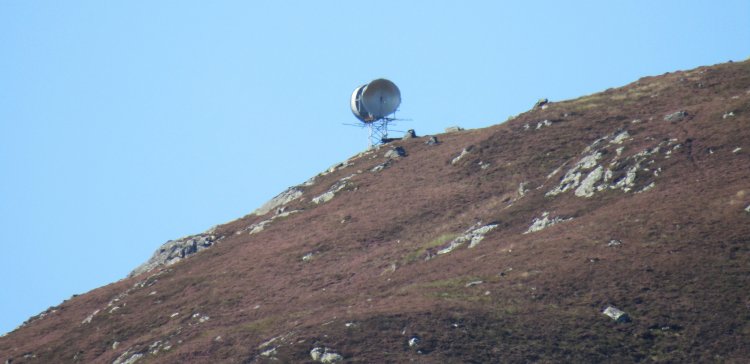
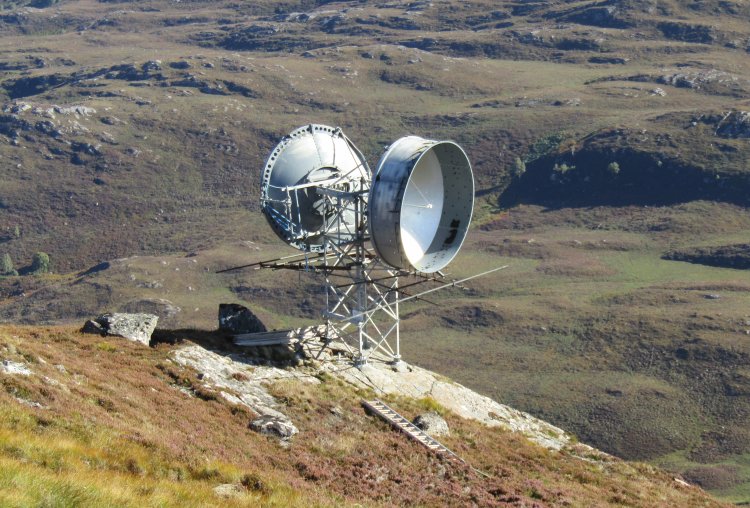
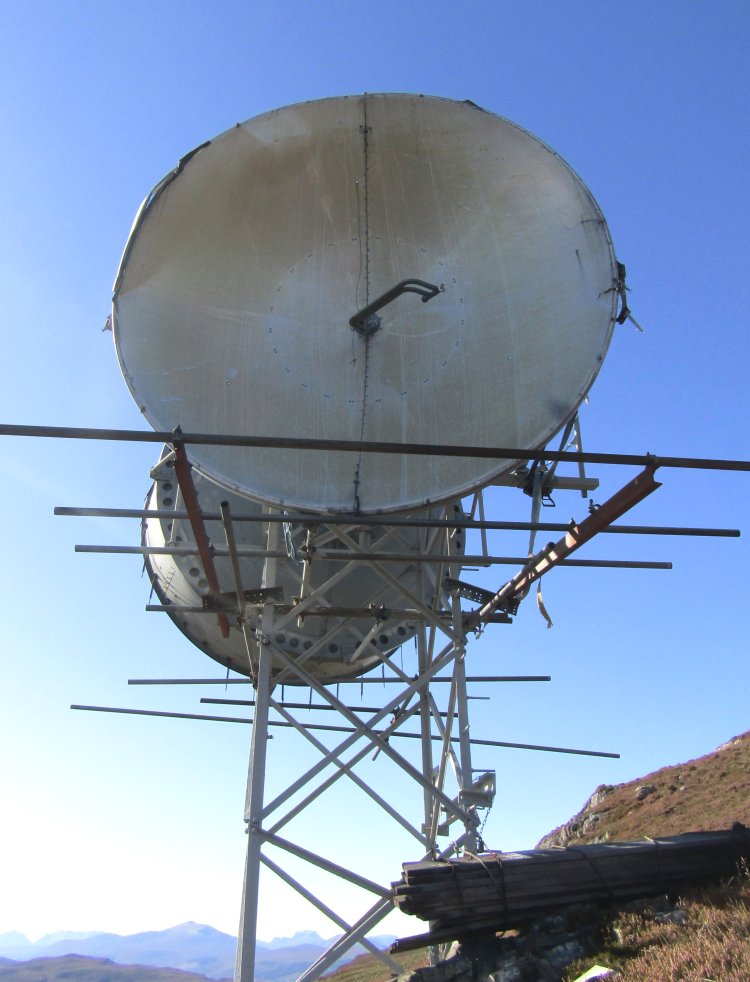
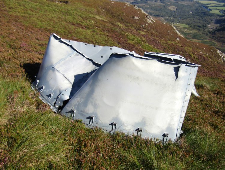
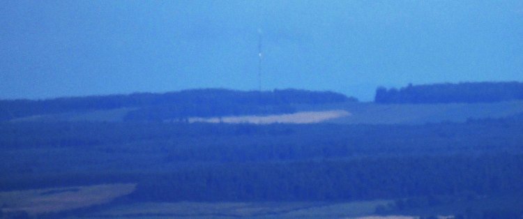
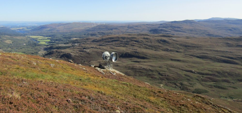
The feed started at Rosemarkie, onto Glenmarksie, Falls of Conon, Sgurr Marcasaidh, Glen Docherty, Melvaig and onto Eitshal and Skriaig. To save on the cost of putting in electricity, access road, maintenance etc in this remote and mountainous area, Glenmarksie and Sgurr Marcasaidh were passive repeaters. Glenmarksie is a plane reflector, while Sgurr Marcasaidh was a passive repeater having 2 dishes mounted back-to-back, connected, but with no powered electronics. Falls of Conon was an active repeater, adjacent to a road and an electricity substation with dishes pointing towards Glenmarksie and Sgurr Marcasaidh. More information about the link system is provided in a BBC Engineering article linked at the foot of this page.
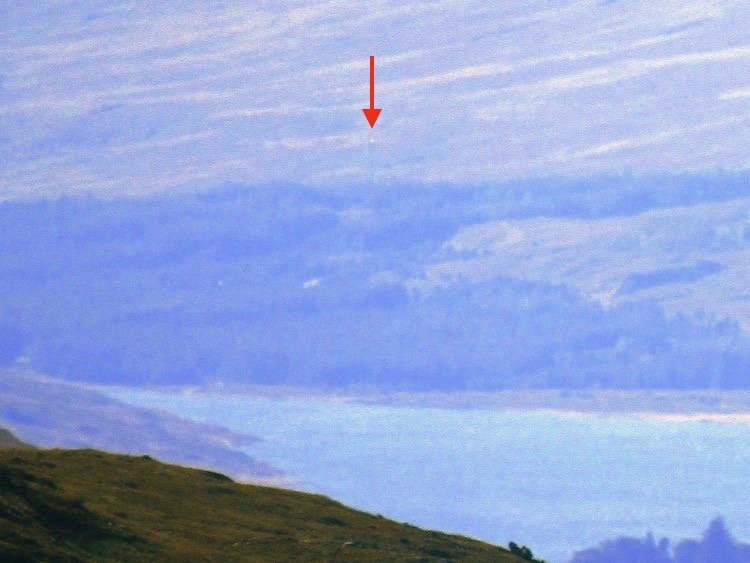
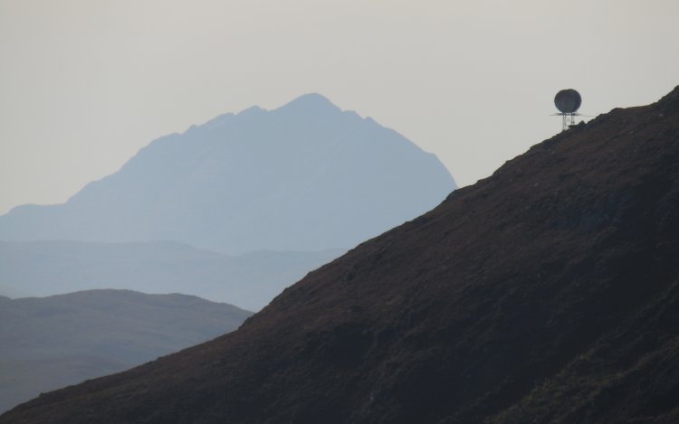
In between Falls of Conon and Glen Docherty lies Sgurr Marcasaidh. Its purpose was to on-pass the SHF signals from the repeater station at Falls of Conon to the repeater at Glen Docherty, 17 miles away.
Since stopping at Glen Docherty in 2021, I'd wanted to get photos of the other three link sites. I found a route on Walk Highlands and headed up on a sunny September day. I knew from the walk reports that the sites were still standing, despite the link not being in use anymore. When the link actually stopped being used I am not sure, can anymore confirm?
At the end of the road at Conon Falls House there's a small car park. From here, a short distance you reach Loch Luichart Dam, where there was work taking place. Beyond the dam, I followed a track till the uphill climb to the site, mainly following a deer track from here on in. The site lies a short distance from the top of Sgurr Marcasaidh, on a slight crag to the south east of the trig point. There are good views, Inverness was visible as were the mountains of Torridon.
On 17th January 1983 one of the dishes at Sgurr Marcasaidh was blown off in a gale. Service was restored around 3 weeks later, on February 9th, in arduous conditions including deep snow, freezing temperatures and light wind. This is detailed in a BBC Engineering article from the time. |