 |
UK Broadcast Transmission |
|
|||||||||||
THE TRANSMISSION GALLERY
| Photos by Peter Bigwood | Page last updated: 2017-09-23 |
|
||||||||||||||||||||||
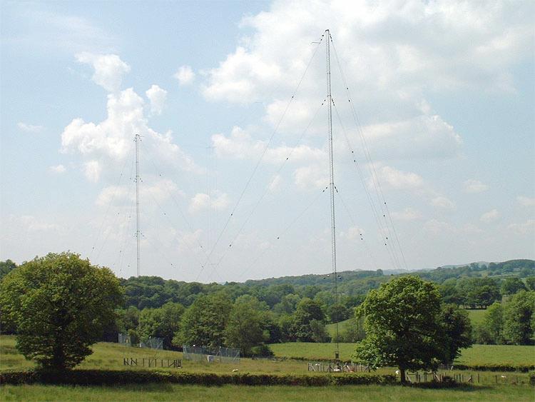
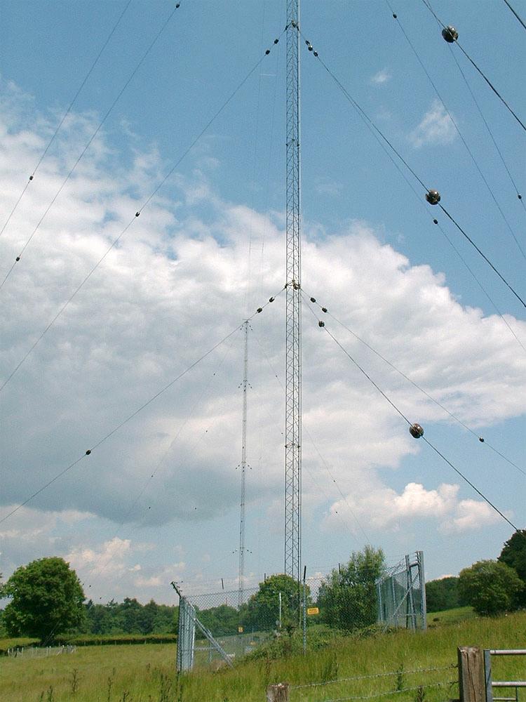
| A familiar T aerial set close to the banks of the River Ithon in a delightful setting just half a mile south-west of the town. Visitors should note that the resident cattle are exceptionally attentive. |
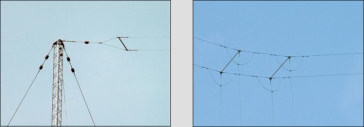
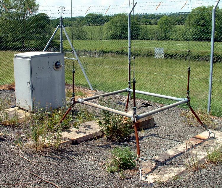
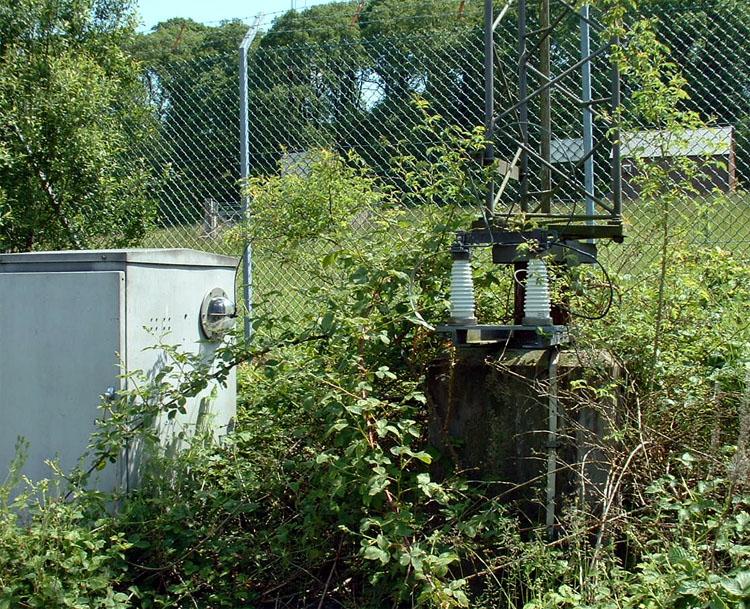
| The feed to the base of the south mast is probably used for stand-by duty and as a decorative rose trellis. |
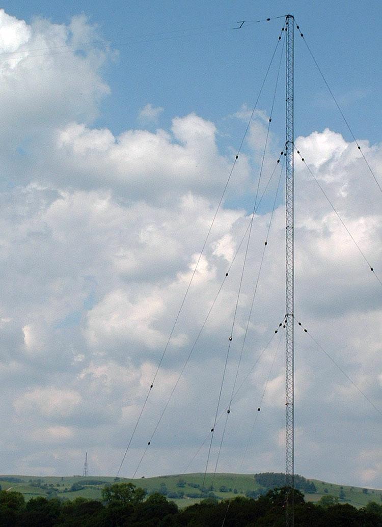
| The Llandrindod Wells VHF/UHF mast can be seen below on the hill top a few miles to the west. |
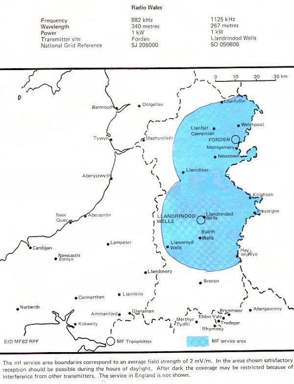
| Coverage map |
| |
Back to TX Gallery index | TX main index
|